MYWOT
Child safety
Confidence
Trustworthiness
Confidence
MALICIOUS CONTENT INDICATORS
Unavco.org most likely does not offer any malicious content.
Secure connection support
HTTPS
Unavco.org provides SSL-encrypted connection.
ADULT CONTENT INDICATORS
Unavco.org most likely does not offer any adult content.
Audience
-
Bounce rate
-
Time on site
02:04
AVG
-
Gender
Men
66.5%
Women
27%
Popular pages
-
| GAGE
The "filtered" versions of the two above data sources simply remove sites that have velocity sigmas larger than 2 mm/yr NE and 6 mm/yr vertical. The GEM Strain Rate Map Project compiles velocity da...
-
| Software | GAGE
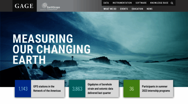
The GAGE Facility operated by EarthScope Consortium, a non-profit university-governed consortium, facilitates geoscience research and education using geodesy.
-
| Data | GAGE
Tropospheric data. Most of these can be accessed via web services. In addition, GPS/GNSS data sets, TLS data sets, and InSAR products are assigned digital object identifiers. See our About Data pag...
-
Short Courses | Education | GAGE
2009 Exploring Southwest Geology and Geophysics through the EarthScope Program Through an exploration of EarthScope learning activities as they relate to the geology and geophysics of the American Sou...
-
Projects | GAGE
UNAVCO provides comprehensive project technical support services to investigators using GPS/GNSS, TLS, UAS, and SAR data. These services range from loaned equipment, testing, configuration, integratio...
-
Network Monitoring | Instrumentation | GAGE
Network Monitoring UNAVCO maintains and monitors several networks of continuously operating geodetic and associated instruments. Network monitoring allows our engineers and other users to find the ope...