MYWOT
Child safety
Confidence
Trustworthiness
Confidence
MALICIOUS CONTENT INDICATORS
Mgimond.github.io most likely does not offer any malicious content.
Secure connection support
HTTPS
Mgimond.github.io provides SSL-encrypted connection.
ADULT CONTENT INDICATORS
Mgimond.github.io most likely does not offer any adult content.
Audience
-
Bounce rate
-
Time on site
02:25
AVG
-
Gender
Men
N/A
Women
N/A
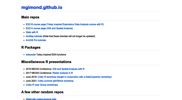
Popular pages
-
Intro to GIS and Spatial Analysis
This is a compilation of lecture notes that accompany my Intro to GIS and Spatial Analysis course.
-
B Mapping data in R | Intro to GIS and Spatial Analysis
library(tmap) tm_shape(s.sf) + tm_polygons(col="grey", border.col="white") The tm_polygons function is one of many tmap functions that dictates how the spatial object is to be mapped. The col para...
-
D Vector operations in R | Intro to GIS and Spatial Analysis
Subsetting by attribute You can use conventional R dataframe manipulation operations to subset by attribute values. For example, to subset by county name (e.g. Kennebec county), type: You can, of cou...
-
A basic introduction to Moran’s I analysis in R
A basic introduction to Moran’s I analysis in R Manny Gimond This is a standalone tutorial used in one of my courses. It introduces students to the Moran’s I analysis as well as some basic mapping fea...
-
A Reading and writing spatial data in R | Intro to GIS and Spatial Analysis
Sample files for this exercise First, you will need to download some sample files from the github repository. Make sure to set your R session folder to the directory where you will want to save the sa...
-
Chapter 2 Feature Representation | Intro to GIS and Spatial Analysis
Figure 2.2: Three point objects defined by their X and Y coordinate values. A point is composed of one coordinate pair representing a specific location in a coordinate system. Points are the most bas...